Our ride down the coast of the Sea of Okhotsk began in the limpid light of the early morning. The tide was out and blue herons were fishing in the shallows along the 5 km or so back to Cape Soya, where the first tourists of the day were already queueing for photos. As we turned south-east, we still had a strong headwind but it had settled helpfully into a steady blast that made it less unpredictable.
The day grew hazy and hot. On largely flat terrain, it should have been easy riding, but we found it tough. We were still unwell, and couldn’t find a comfortable cycling posture. Bikes, bodies and loads felt heavy. We decided to ride short days of only 30 to 40 km to allow our bodies to recover.
The plan half-worked. The short day happened. But then we’d need a day’s rest. Although the rest was a relief, we were frustrated by our lack of progress (health and distance).
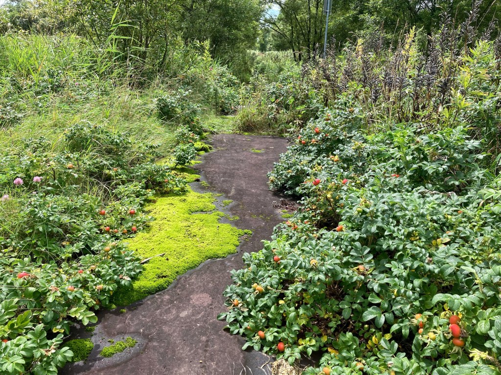
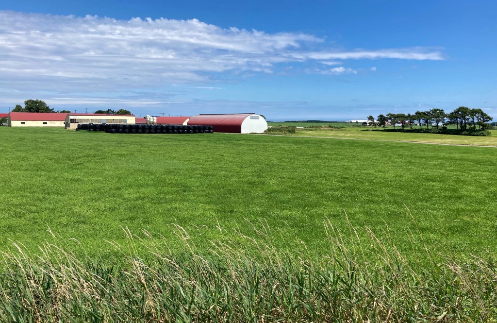
The riding is generally flat along the length of the Okhotsk coast, with variety created by lines of low hills that sometimes make it all the way to the shoreline to form pretty headlands. There is no surf, and during our time here the sea was often as flat as the coastal plains. Fishers had nets strung out from the beach almost the whole 340 km to Shari. As the prevailing wind is from the south, we were pushing into it the whole way. We limped down the coast.
Our first stop after Cape Soya was Sarufutsu. The haze had become cloud, and the wind changed direction. A typhoon down south, on the western, Sea of Japan side, was working its way up the coast of Honshu. We were feeling its edge. We pitched our tent and dozed away the afternoon.
We woke ill and to rain. So much rain. We stayed put, and in the evening treated ourselves to dinner at the restaurant next door, where they dished up the local specialty, enormous and succulent scallops. A waiter there told us that people come from Hawaii, Korea and Taiwan just to eat Sarufutsu scallops. Before we set off the next morning, he treated us to coffee and the restaurant’s new product, a steam bun filled with scallop in a cream sauce, marrying in a tasty way two local primary industries.
We managed 42 km to a lush campground on Lake Kutcharo. The weather forecast for the evening was for big winds as the typhoon pushed its way along Hokkaido’s west coast. Right on cue, the wind rose gustily; we guyed out our tent, something we rarely have to do. Even though it’s designed to handle rough weather, as the wind reached it’s peak the tent yawed against the pegs. Although we felt safe, it was pretty noisy till about 1 am.
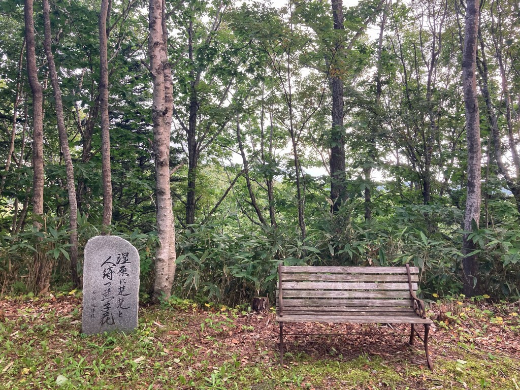
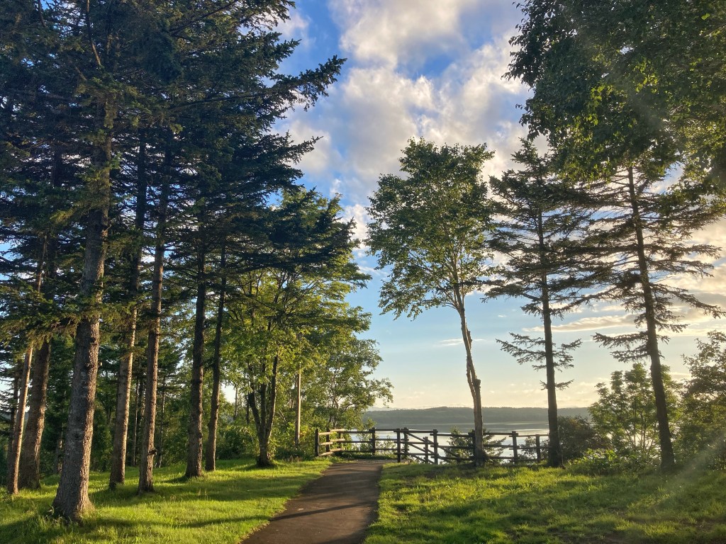
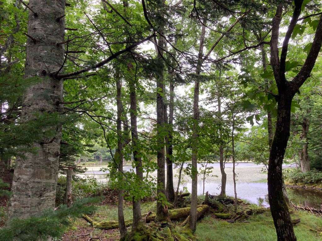
We woke to a sparkling morning with barely a breeze; the typhoon had blown itself out. It would have been a gorgeous day to ride, but we weren’t up to it. So we enjoyed the lake, which, it turns out, is a Ramsar wetland. At certain times of the year, it is taken over by thousands upon thousands of swans from eight species. Tens of thousands of other kinds of migratory birds come here, too. It must be a wonder to see. At the moment, with only some resident cormorants and blue herons present, the lake was quiet. There’s a short walk called the Forest of Literature, a simple and elegant path through lakeside forest. A stone carved with sentences from literature has been placed every so often along the path. There are glimpses through trees to the sunlit lake. It is, though, not somewhere to tarry a while, as it is also the Kingdom of the Stealth Mosquitoes.
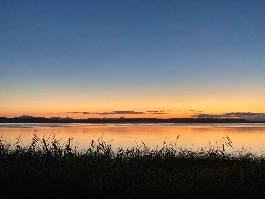
The light on the lake changed through the day. Clouds massed and dissipated; air moved and stilled, reflections blurred and sharpened. Towards sunset, Japanese campers quietly gathered in twos and threes along the shore to take in the tranquility and watch the changing colour show until it was almost dark, seeming to invite the scene to soak into them.
Camping is popular in Japan. It reminds me of camping in Australia 30 years ago, when people happily made do with a little, simple stuff. In Hokkaido, vehicles are restricted to parking areas, so people have to cart their gear to their chosen tent site. Toilets are provided, but generally not showers, as people are expected to go to a nearby onsen. There are kitchen sinks, but seldom picnic tables or shelter sheds. The biggest difference to the contemporary Australian experience is in how considerate people are of other campers, having fun while being careful not to impinge on others’ enjoyment.
Lake Kutcharo was our favourite of the many low-lying lakes that run down this coast for more than 300 km. In between, the countryside quickly became samey. Along with fishing and seafood processing, dairying and timber felling are the main primary industries, with some vegetable growing as well.
Some mornings the flat sea was a study in silvery light, reflecting pale grey skies, and framed by dark masses of occasional headlands. Wisps of cloud hung suspended between the hills, giving them form. On our inland side, dense stands of trees with knobbly branches, also dark, came out of a fairytale.

We finally got to the stage of being able to ride for two days in a row, then three, though they were still short days. We came across some Japanese touring on bikes. A group of four young people were riding commuter bikes and had their gear strung about wherever they could tie or dangle it, including their bodies. One carried a big saucepan from home, and they cooked their dinner in the michi-no-eki car park where we were all camped. I was impressed: riding like that would drive me nuts. Further south, a lone cyclist not much younger than us shared notes on bike set-up and routes. He joined the chorus of locals who had told us how abnormally hot the Hokkaido summer has been this year. Sometimes when we’ve arrived at an onsen mid-afternoon, we’ve shocked the receptionist with our red-faced raggedness, and they entreat us to be careful.
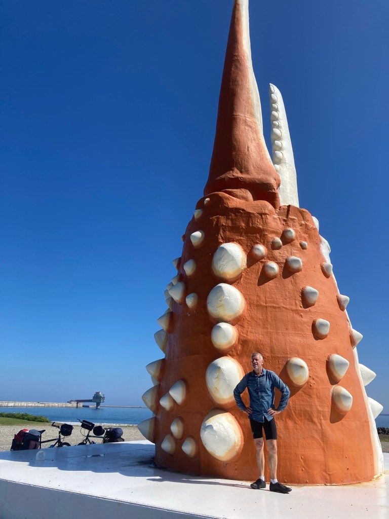
At the fishy-smelling port town of Mombetsu, we treated ourselves to a hotel room for the night. Oh, the bliss of being indoors, free of insects, and sleeping in a proper bed! On our way out, we stopped at the giant crab claw. The 7-ton piece is pretty cool for a Big Thing, perhaps because the making of it involved a sculptor, Toshi Nagasaki. The community made it to be floated in the 1983 Drift Ice Festival, and it has since found a long-term home on land near the port.
Drift ice is a different kind of big deal in Mombetsu — and the length of this coast. The town is home to a drift-ice research facility, the Okhotsk Tower, which also has an underwater observation chamber. The whole northern and Okhotsk coasts of Hokkaido fill with drifting ice during winter. It forms off the Siberian coast and is brought south by sea and wind currents, until it is dammed against the Shiretoko Peninsula in the south-east.
There were lots of road works along the road heading south-east of Mombetsu. It amused us to see, among the heavy road-building equipment, twig brooms being used to sweep away debris. We were on a busy truck route on a road that often had no shoulder or broken shoulder and road edge. Hats off to the truck drivers, most of whom moved across the road to give us space when they could. We love this! Such considerate road sharing is typical of drivers in our experience here. We can count on one hand the number of drivers who have roared past too close unnecessarily, the opposite of our experience on Australia roads.
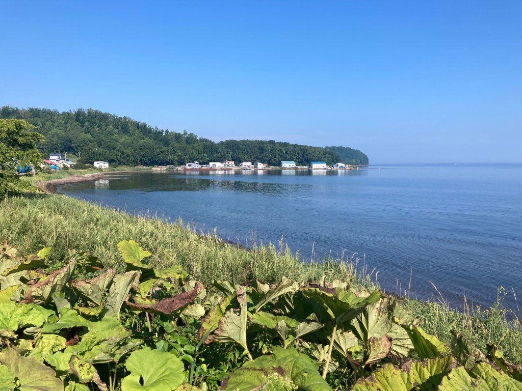
A campsite in a forest above the town of Yubetsu gave us the chance to watch numerous squirrels in fluid action. Unfortunately it is also the home of squadrons of enormous mosquitoes and horse flies with the persistence and personality of orcs. Our only respite was inside our tent, airless in this weather. It was still airless at 5.30 the next morning, and we were happy to be on the road early. We cycled for awhile along the shore of lapis lazuli Lake Saroma. With its colour, size and small villages dotted along the shore, it reminded us of Lake Titicaca. It is our other favourite lake on this coast.
A hot southerly made for exhausting riding, so we stopped every hour to cool down. At one stop, we sat on upturned crates outside a supermarket, sipping drinks still icy from the fridge inside. A shop assistant emerged from a side door, arms extended to offer us mandarins to help. We’ve struck this quite a lot: strangers giving us small gifts. It’s a shame we didn’t know to bring small tokens from Australia to give in return.
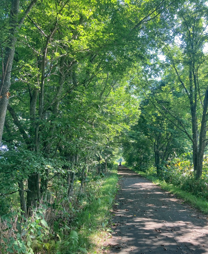
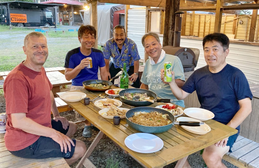
We soon had another unexpected delight: a bike path, under shade, along a re-purposed railway line. The wind swung around to the north and became cooler. It was short-lived relief, and another couple of very hot, southerly-blasted days followed. At Shari, our camping site turned out to be part of a rider house. We must have looked overcooked when we arrived, because a couple of Japanese cyclists insisted we eat dinner with them. They were on a two-week spin with about 7 kg of luggage each. Shinji, a chief financial officer in working life, loves to cook and loaded the table with seven dishes he’d prepared. He barely touched any of the delicious food, preferring sake, but the other five of us in the party tucked in. Conversation flowed as freely as Shinji’s sake. We were early to bed, and the others partied on.
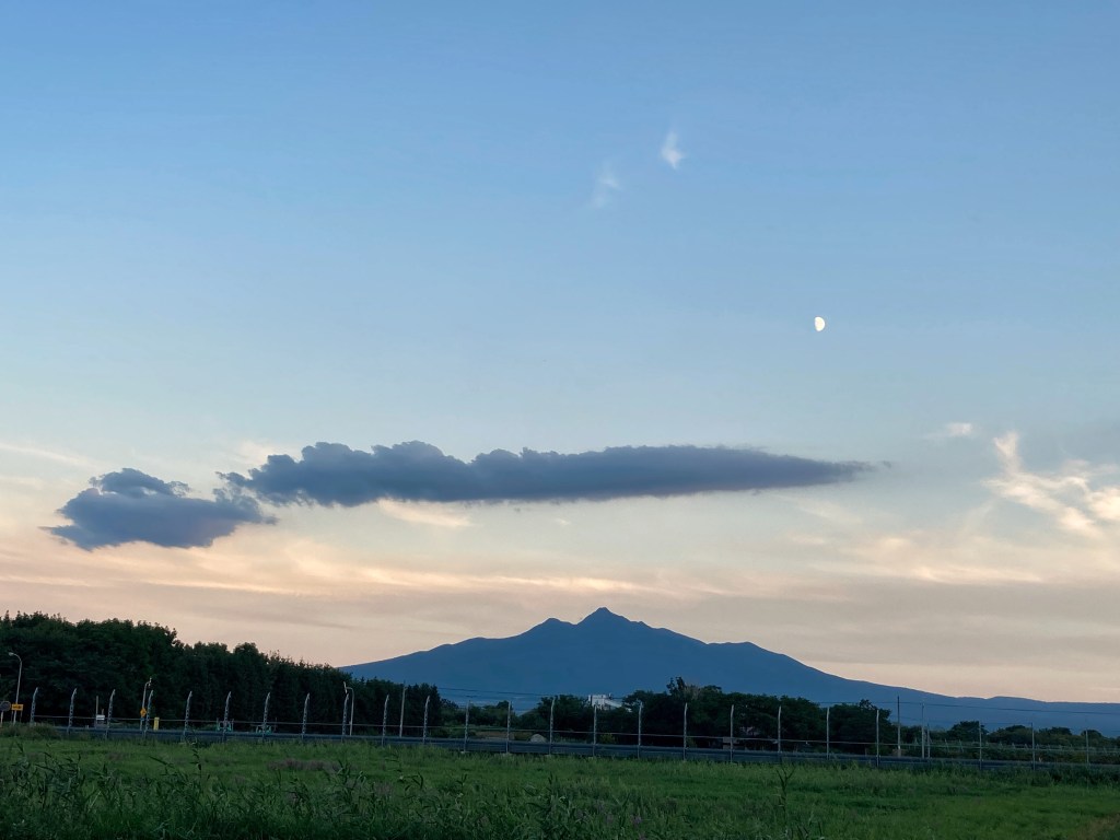
The next morning, while Shinji and his mates moved about gingerly, we headed to the Shiretoko Range, most of which is World Heritage national park. Here the southern extent of the drift ice is reached, and its influence on marine and terrestrial ecosystems is one of the reasons the peninsula achieved World Heritage status. Utoro, at 44° 4’ N, is the southern-most town under the influence of the ice. Nowhere else does sea ice reach this latitude, which is similar to that of Venice (Italy) and to Canterbury (New Zealand), and south of the most southerly point of Tasmania. Scientists reckon they can use the drift ice at its southern end as a proxy for the condition of sea ice in the Arctic during March.
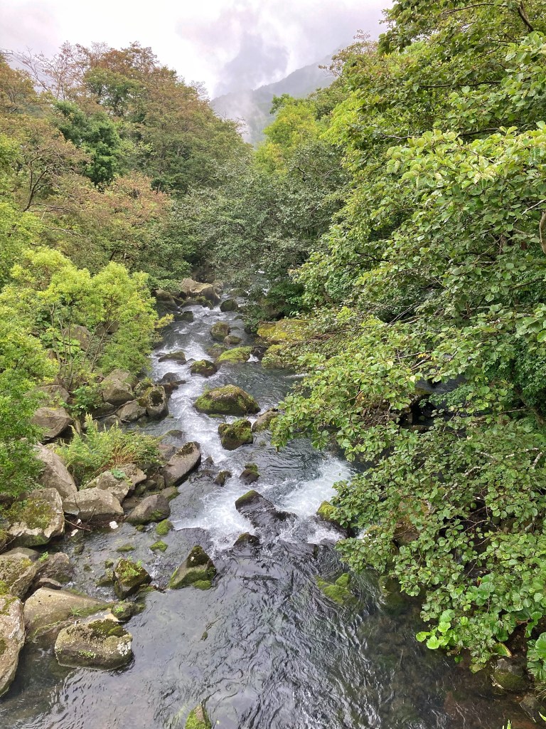
We were suddenly in rugged mountains among waterfalls, moss, rock-bedded streams, small lakes, brown bears (that we didn’t see), and a dense forest of birches and pines with a dwarf bamboo understory.

The ride over the spine of mountains via Shiretoko Pass is said to be one of the most scenic in the whole of Japan. We’ll have to take that on trust as we rode it through cloud. At the top of the pass, which is only 740 m above sea level, visibility was about 40 m. We were cold and wet, but once we’d tightened my headset, which had loosened (ahem … user error), it was only a short downhill whizz to our campsite and, across the road, the best onsen we’ve been to in Hokkaido. This one is run by community volunteers. An old woman took me under her wing to ensure I bathed properly before I got into the pool, piling my cupped hands with frothed up soap and pointing “down there”. The pools (one for women, one for men) are outdoors, so we were able to combine soaking up the thermal spring water and forest bathing. We left some thank you coins in their donation tin.
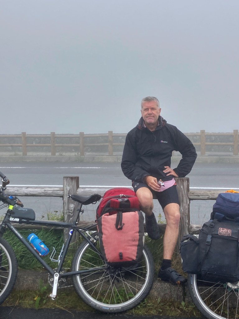
After we’d ridden out of the rain that hung around the mountain range the next day, Dave realised that he’d lost the cleat from one of his cycling shoes. (He had to ride with a flat pedal with one foot and in cleats with the other for a few days, until he could get a replacement.) By the time we pitched our tent in a council campground at Shibetsu that evening, we were at the southern extent of the Sea of Okhotsk. Tomorrow we’d begin the next leg of the tour, heading east through hills and farming country.

Leave a comment